
My plan for Mt. Shasta was to do a fast ascent Saturday morning via the Avalanche Gulch route, descend via splitboard, and be back in time to cook lunch in the parking lot. I was nicely acclimated too. Before this I’d been camping near Bunny Flat, doing short tours up Shasta in the afternoons.
Come Friday, and the hustle-and-bustle of climbers gearing up in the lot tempted me. I planned to watch Netflix and gorge myself on food that evening before my climb the next morning. I decided last-minute though to go for a two-day climb and enjoy a night out on the mountain. I packed my backpack, took a bivy sack as shelter, and headed up. The weather was “supposed” to be fine, last time I checked it. There were a ton of cars in the lot too.
At 4 p.m. I started hiking to Horse Camp. I planned to reach Lake Helen between 7 and 8 p.m. I didn’t like the fact that I was hiking. A few days ago I was able to skin from the parking lot — the snow-melt was rapid. I noticed the upper half of the mountain was in the clouds. This didn’t go along with the weather report, but I didn’t mind. From spending the last week living in the lot, it seems like most nights clouds would descend on the peak. I assumed it would be innocuous.
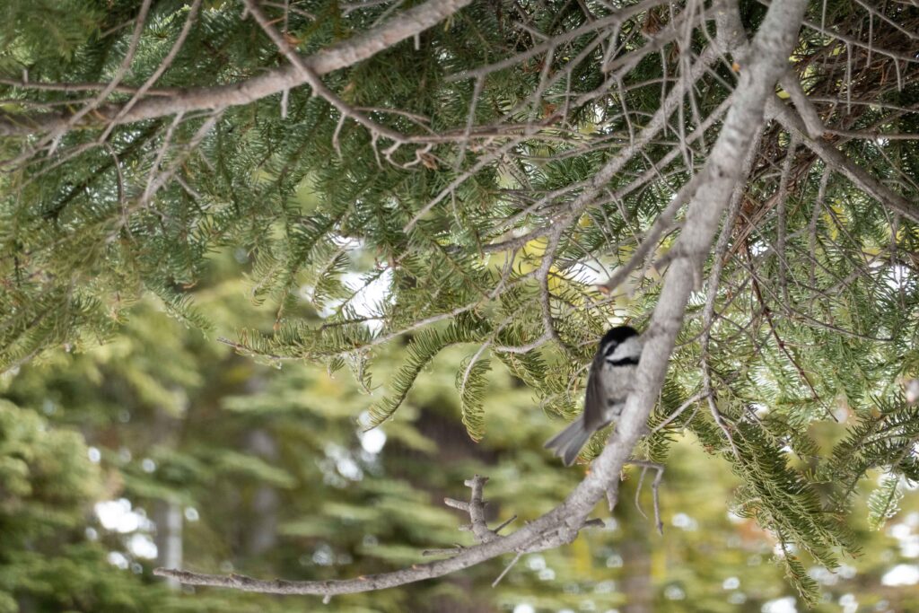
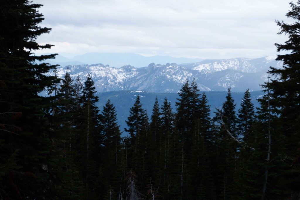
The low light through the clouds made for some gorgeous photos. There were plenty of birds and other creatures about too — probably munching on granola bar crumbs from other climbers.
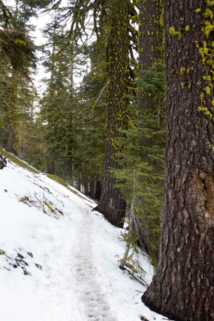
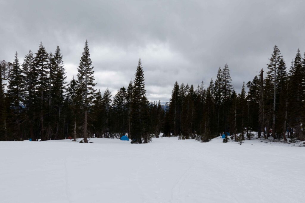
I reached Horse Camp fairly quickly. The snowpack became consistent here and I switched to skinning, shaving a good 10 pounds off my back.
There were lots of climbers and tents everywhere. I came across a guy I met in the parking lot a day earlier and he said everyone was camping in Horse Camp because the weather at Lake Helen was bad. I figured I’d continue skinning up and take my chances.
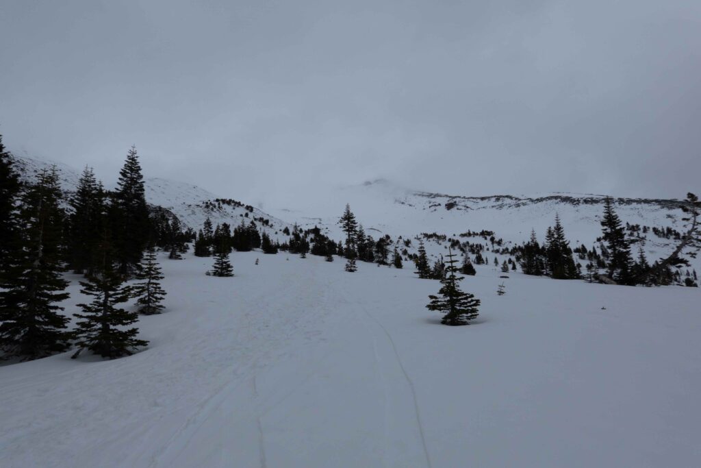
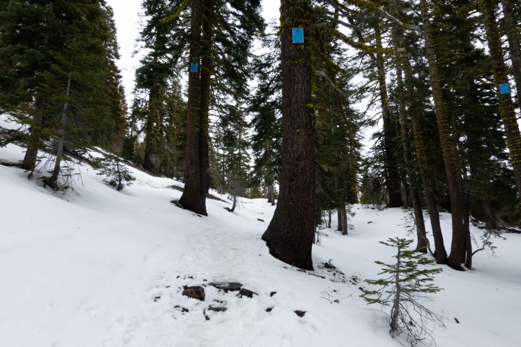
The beginning of the climbing route was snow interspersed with rocks and scree. Terrible for skinning. But one drainage east, the snow collects deep. At least up to Lake Helen, this is the ideal skinning route. I started ascending without a single bootprint in sight. I was reminded of the time by the sticky mashed-potato snow. Even with a laid skin-track, I was sinking in. Oh well, I signed up for this with my last-minute ascent. I began to regret my decision though.
My skin glue had been giving me problems lately, and snow was sneaking in between my base and skin. Thankfully I carry a rag with me. A little way up I wiped dry my skin glue and base, and was able to resume without incident.
Except for one side-hill which I had to boot-pack, the skinning was alright despite the mushy snow. I would still be on track to arrive at Lake Helen before 8 p.m., giving me plenty of time to hang out and melt snow before dark.
The weather was getting worse as I ascended. It started precipitating. With the wind, I got to enjoy sideways sleet, snow and freezing rain. Visibility was reduced as I ascended higher as well. It got to a point of total white-out, where I was looking into a ping-pong ball and couldn’t tell what was snow and what was sky. At this point, I was a few hundred feet below Lake Helen. It was almost 7:30 p.m. If there was no wind I might have been able to hear the chit-chat from the camp.
I finally pulled out my phone and checked the forecast again. The forecasted wind speed for Lake Helen was above 60 mph the next morning, and the forecast for the summit was above 80 mph. Maybe I missed that the first time I checked, or maybe it changed throughout the course of the day. But at those wind speeds, it becomes difficult if not impossible to walk. There was some hope because it said the clouds would clear up, but all I had was a bivy sack. I wasn’t in the mood to spend a night during a storm, only to turn around the next morning. I’d end up descending refrozen icy snow as well. I decided to turn around. I also vowed to head north to better snow, and leave Shasta in the literal dust heap it was melting out to become.
The first few turns were interesting in the total white-out. But, I got into my groove and found it relaxing in a sense. The snow was soft and forgiving, and the grade wasn’t steep enough to make the white-out a problem. I broke through the clouds, picked up speed, and before I knew it I was downhill past Horse Camp following the drainage.
I knew there was a way back through the trees this way rather than through Horse Camp. But with the thin coverage down low, I didn’t want to thrash off-trail back to my truck. That would’ve taken more time than the trail. The snow was deeper in the drainage though, and I rode continuous snow until 7,400′ — whereas Horse Camp is at 8,000′. I unstrapped, tossed my board on my pack, and started walking downhill in the drainage. It was surprisingly straightforward. I then realized that this was the proper ski route, and I could’ve been skinning much sooner than Horse Camp.
Before I knew it, I was spat out of the drainage onto the trail, just ten minutes from my truck. A few moments later, I was unpacking, cooking dinner, and going to sleep for the night.
The next morning when I awoke, it was clear and sunny. But, a funky-looking cloud was surrounding Shasta, streaking in an arc across the peak. The wind was ripping up there — I was glad to be off the mountain. I started driving north, to better snow and hopefully better weather.